パワポ、エクセル、ワード素材/地図/音声/イラストのフリー素材
メニュー
サイドバー
前へ
次へ
検索
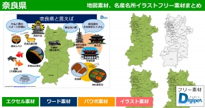
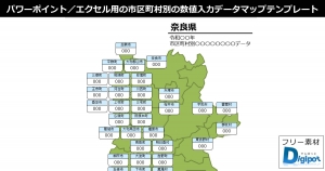
2022年4月28日2026年5月1日奈良県
詳細
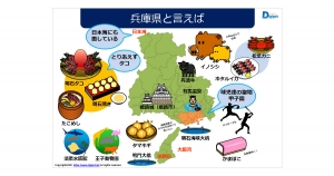
2021年2月1日2026年4月6日兵庫県
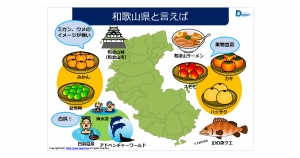
2021年1月28日2026年4月6日和歌山県
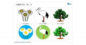
2021年5月14日2026年3月16日兵庫県
2022年4月29日2026年3月16日兵庫県
2025年2月22日2026年3月16日兵庫県
2026年2月27日近畿地方地図
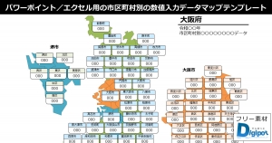
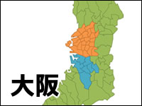
2022年4月20日2025年7月24日大阪府
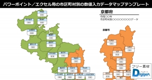
2022年4月21日2025年7月24日京都府
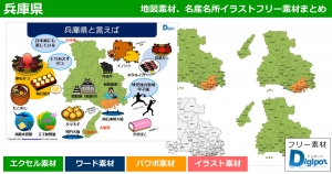
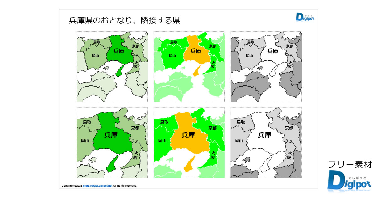
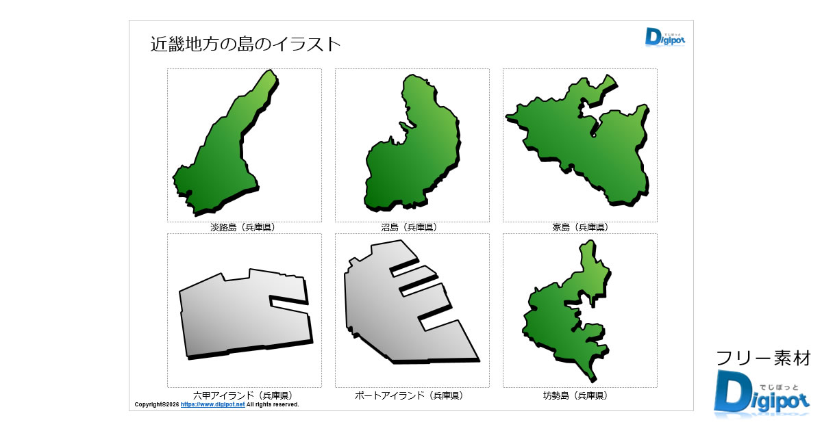
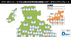
2022年4月21日2025年7月24日兵庫県
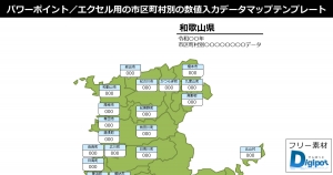
2022年4月20日2025年7月24日和歌山県
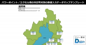
2022年4月19日2025年7月23日滋賀県
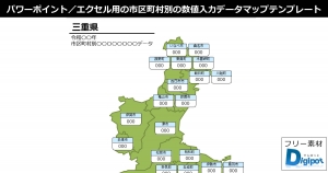
2022年4月20日2025年7月23日三重県
2022年4月20日2025年7月22日奈良県
2018年8月18日2025年7月17日大阪府
最近の投稿